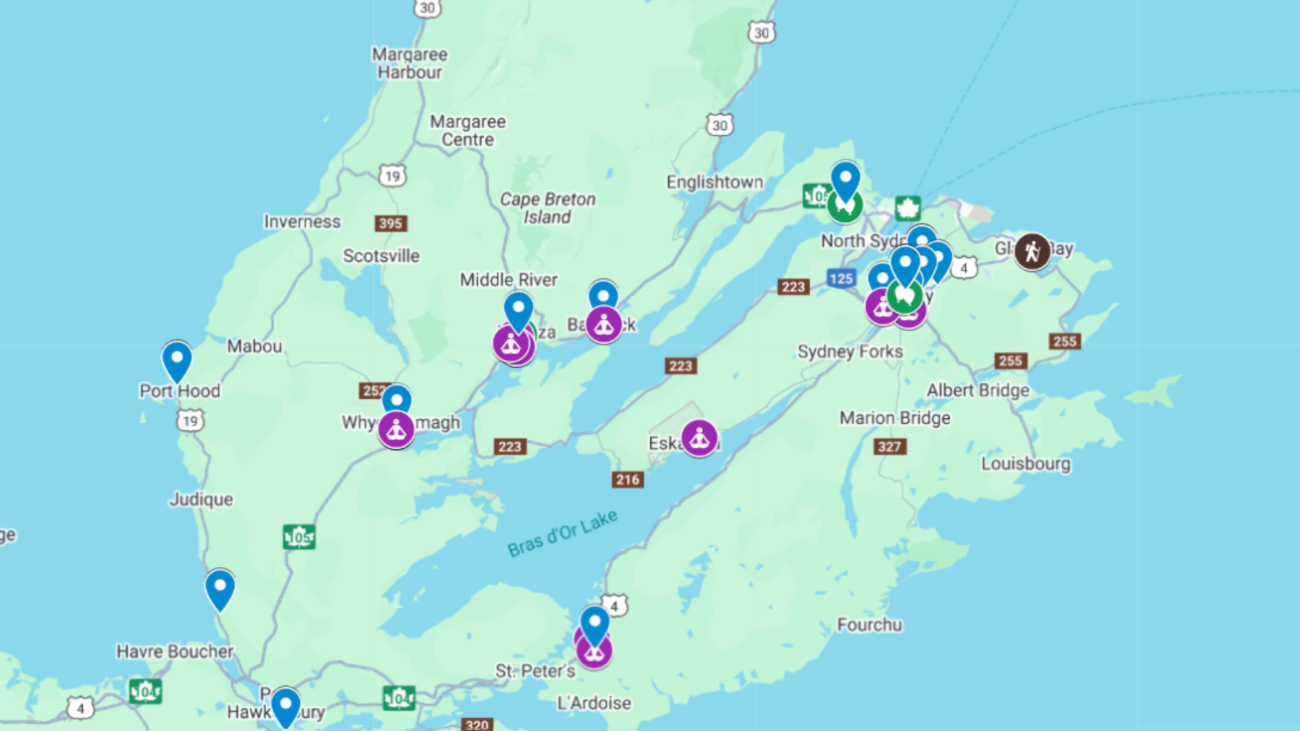
What is an Adaptation Asset?
In our research, an asset is not just a piece of infrastructure; it is any resource, natural, social, or technical, that increases our island’s ability to navigate environmental and economic shifts. This map (in development) is a visual inventory of the patchwork of resilience across Cape Breton-Unama’ki.
While some maps focus solely on hazards and risks, this tool focuses on capabilities. It identifies the organizations, Indigenous-led projects, and community networks that are currently building regional autonomy.
The Third Space Layer
A critical, and often invisible, part of our mapping work involves identifying third spaces. These are the physical and social meet-up hubs that exist between formal government institutions and private households.
Third Spaces, such as community halls, or regional maker spaces, are the connective tissue of the island. They provide the neutral ground where different sectors (e.g., a solar energy non-profit and a food sovereignty group) can converge. We are currently in the process of adding a dedicated third space layer to this map to visualize where these vital social intersections are happening.
Methodology & Independence
This mapping project is an independent research initiative designed to support the broader ecosystem of climate adaptation in Cape Breton. While it informs our various academic partnerships, it is a standalone effort to visualize regional strength.
Our mapping process involves:
- Identification: Documenting the 34+ promising initiatives across our five thematic pillars and 114 third spaces.
- Categorization: Assessing assets based on their technical capacity, social cohesion, and Indigenous governance.
- Relational Layering: Moving beyond GPS coordinates to map the relationships between different hubs.
